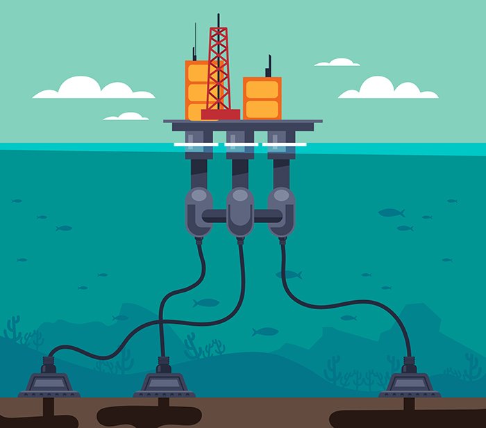
Current monitoring is a crucial aspect of Metocean Services, providing detailed insights into the movement of water masses, flow patterns, and tidal currents. Understanding ocean currents is essential for marine navigation, offshore industries, climate studies, and ecosystem management.
At GISMappers, we use advanced satellite remote sensing, Acoustic Doppler Current Profilers (ADCPs), HF radars, and numerical ocean models to analyze surface and subsurface current behaviors. These insights are critical for coastal protection, offshore operations, and environmental impact assessments.
GISMappers specializes in high-resolution ocean current analysis using remote sensing, in-situ monitoring, and hydrodynamic models. Our solutions provide critical insights for marine safety, offshore operations, and environmental sustainability.
© Copyright 2025. All Rights Reserved by GISMappers Saudi Arabia