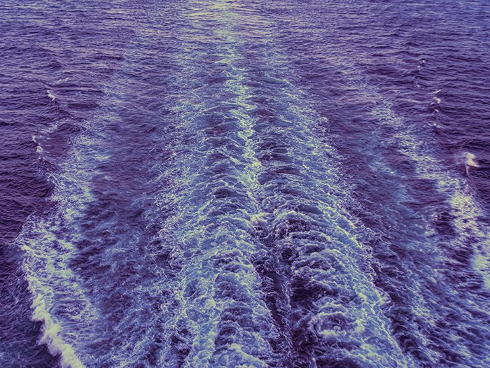
Waves Monitoring is a crucial part of Metocean Services, providing essential data on ocean wave conditions for marine navigation, offshore operations, and coastal engineering. Monitoring wave height, period, and direction helps assess the impact of storms, climate change, and ocean energy potential.
At GISMappers, we utilize satellite remote sensing, wave buoys, radar systems, and numerical models to measure and predict wave characteristics, ensuring accurate and real-time oceanographic insights.


GISMappers provides advanced wave monitoring and analysis solutions using satellite technology, ocean buoys, and high-resolution models. Our services support coastal management, marine industries, and environmental sustainability for safer and more efficient ocean operations.
© Copyright 2025. All Rights Reserved by GISMappers Saudi Arabia