Wind Monitoring & Analysis
Wind Monitoring is an essential aspect of Metocean Services, providing critical data on wind speed, direction, and variability for industries such as maritime navigation, offshore energy, and coastal engineering. Understanding wind patterns is crucial for climate studies, renewable energy projects, and disaster preparedness.
At GISMappers, we leverage satellite-based remote sensing, ground-based sensors, LIDAR, and numerical models to analyze wind behavior in both coastal and open-ocean environments, ensuring accurate data for decision-making.
Key Features & Benefits:
1. Real-Time Wind Measurement
- Uses satellites, LIDAR, and anemometers for real-time wind tracking.
- Provides high-resolution wind speed and direction data.
2. Wind Forecasting & Climate Analysis
- Predicts short-term and long-term wind patterns for various industries.
- Supports climate change research and atmospheric studies.
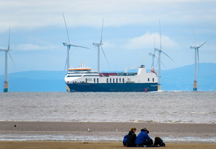
3. Offshore Wind Energy Resource Assessment
- Evaluates wind energy potential for offshore and onshore wind farms.
- Aids in site selection for renewable energy projects.
4. Impact on Marine Navigation & Aviation
- Provides wind data for safe ship routing and offshore operations.
- Supports aviation meteorology to prevent turbulence-related risks.
5. Extreme Weather & Storm Monitoring
- Tracks cyclones, typhoons, and hurricanes in real-time.
- Supports disaster preparedness and mitigation strategies.
6. Coastal Erosion & Environmental Impact
- Assesses wind-driven wave and sediment transport affecting coastlines.
- Helps design coastal protection measures and environmental policies.
Applications of Wind Monitoring:
- Offshore Wind Farm Development
- Maritime and Aviation Safety
- Weather Forecasting & Storm Tracking
- Climate Change and Atmospheric Studies
- Coastal and Environmental Management
GISMappers provides advanced wind monitoring solutions using remote sensing, numerical models, and sensor networks. Our data supports offshore industries, energy development, disaster resilience, and environmental sustainability, ensuring informed decision-making for various marine and atmospheric applications.