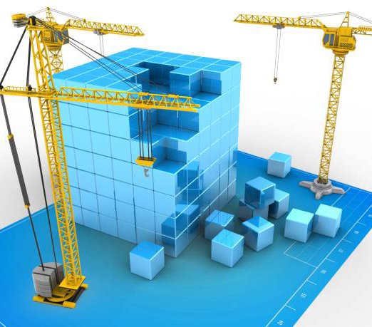
The construction industry is rapidly evolving—and at the forefront of this transformation is 3D BIM Modeling. BIM, or Building Information Modeling, is more than a 3D digital representation of a structure. It’s a collaborative process that integrates design, architecture, engineering, and construction data into a single intelligent model.
At GISMappers, we utilize cutting-edge BIM technology to bridge the gap between design and execution—reducing errors, saving costs, and delivering high-precision results for projects across Saudi Arabia, UAE, Oman, and beyond.
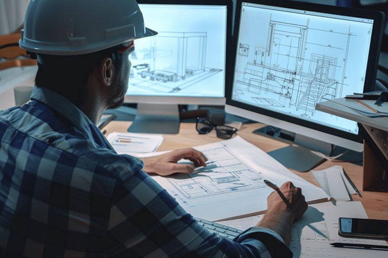
With BIM, architects, engineers, and contractors can visualize every detail of a project before construction begins. The 3D model highlights potential conflicts—such as piping clashes or structural overlaps—early in the design phase, minimizing on-site surprises.
BIM enables synchronized collaboration among project stakeholders, ensuring that everyone—from architects to contractors—works from a unified, up-to-date model. This reduces miscommunication and increases construction accuracy.
Through automated clash detection, BIM software identifies design issues before construction begins. This helps prevent costly rework and construction delays—particularly crucial for mega-projects and fast-paced infrastructure developments in the Gulf.
BIM allows for accurate material estimation and budgeting, as every object in the model contains embedded data (size, material type, quantity). This streamlines procurement and avoids wastage, ensuring the project stays on schedule and within budget.
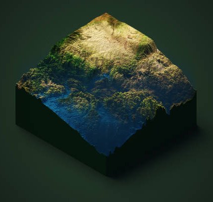
At GISMappers, we integrate BIM with geospatial data from UAV and GIS platforms. This creates an end-to-end system for planning, design, and construction that aligns perfectly with real-world topography and conditions.
Once construction is complete, the BIM model acts as a digital twin for the facility. It aids in future renovations, asset management, and maintenance planning—making it a long-term investment, not just a design tool.
“3D BIM Modeling transforms how we build—reducing errors, increasing precision, and saving time from concept to completion.”
At GISMappers, we combine 3D BIM modeling with UAV-based surveys and GIS data to deliver highly accurate, integrated construction solutions. Whether it’s a high-rise, industrial facility, or infrastructure project, our BIM services ensure your designs translate perfectly into reality. Get in touch to learn how we can enhance your next project.
© Copyright 2025. All Rights Reserved by GISMappers Saudi Arabia