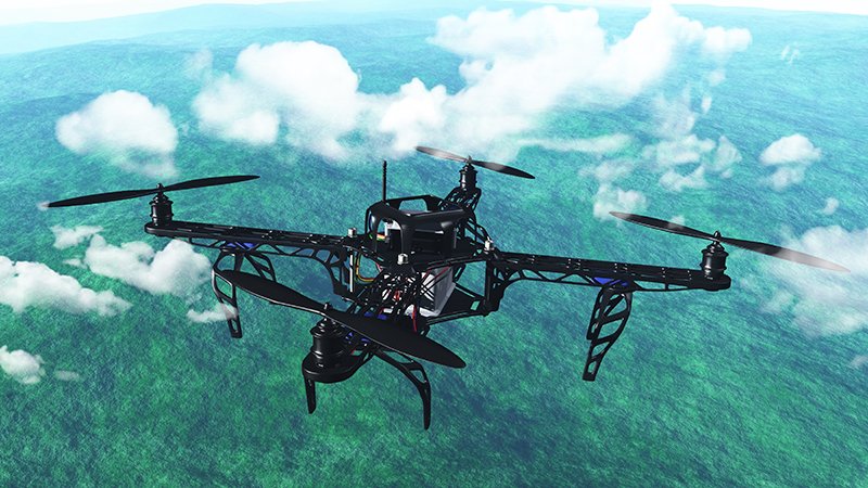
The use of UAVs (Unmanned Aerial Vehicles), commonly known as drones, has transformed modern land surveying. In Saudi Arabia, where large-scale development projects span deserts, mountains, and urban zones, UAVs provide a fast, precise, and cost-effective solution for collecting geospatial data. Below are five compelling benefits of using UAVs in land surveying across the Kingdom.
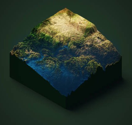
UAVs capture high-resolution aerial images that can be processed into accurate orthomosaics, digital surface models (DSMs), and 3D terrain models. This level of precision helps in designing infrastructure, managing land, and planning construction projects with confidence.
Traditional ground surveys can take days or even weeks depending on the terrain. UAVs can survey large areas within a few hours, dramatically reducing turnaround time and project delays. This is crucial for fast-paced development in Saudi Arabia's Vision 2030 infrastructure goals.
From rocky mountains to remote desert regions, Saudi Arabia presents many surveying challenges. UAVs eliminate the need to send teams into hazardous or inaccessible areas, improving both efficiency and worker safety.
UAV surveys allow for rapid data collection and near real-time data access. Engineers and decision-makers can monitor progress, make informed changes, and improve workflows—all based on live geospatial insights.
With fewer resources needed on-site and less equipment involved, UAVs reduce both operational costs and environmental impact. This makes drone-based surveys a sustainable choice for modern projects.
“Using UAVs for land surveys isn’t just innovation—it’s a smart investment for accuracy, speed, and safety in Saudi Arabia’s ambitious development landscape.”
At GISMappers, we leverage cutting-edge UAV technology to deliver top-tier land survey services across Saudi Arabia. Whether it's for smart city planning, infrastructure development, or environmental assessment, our expert team ensures precision and performance. Contact us to learn how we can support your next project.
© Copyright 2025. All Rights Reserved by GISMappers Saudi Arabia