GIS Mapping
Big Data GIS Processing Saudi Arabia | Scalable Spatial Analytics | GISMappers

Scalable Big Data GIS for Saudi Arabia’s Smart Future

GISMappers offers cutting-edge Big Data GIS processing in Saudi Arabia, enabling real-time spatial analytics across massive datasets. From NEOM's smart city development to Riyadh’s transportation infrastructure and coastal monitoring in Jeddah, our solutions support diverse sectors across the Kingdom.

We integrate cloud-native GIS platforms, artificial intelligence, and distributed computing to process billions of geospatial records—empowering faster decisions in urban planning, environmental conservation, logistics, and infrastructure development across Saudi cities.
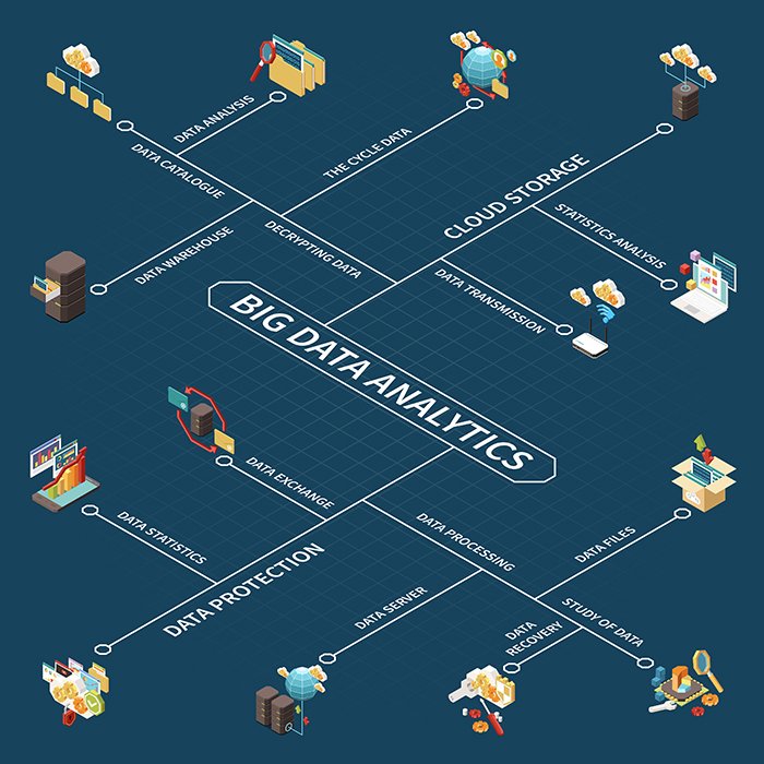
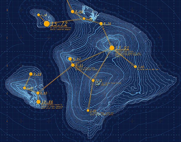
Big Data GIS Saudi Arabia
Saudi Arabia GIS spatial analytics

Key Capabilities & Benefits:

1. Scalable Spatial Data Processing in Saudi Arabia
  • Cloud platforms like AWS, Azure, and Google Earth Engine for large-scale GIS tasks.
  • Efficient processing of drone imagery, LiDAR, and satellite datasets for the Gulf region.
2. Real-Time Spatial Analytics for Urban Planning
  • Real-time analysis of traffic, weather, and IoT feeds for cities like Riyadh, Dammam, and Jeddah.
  • Live dashboards and geospatial alerts for dynamic urban management.
3. AI-Driven Geospatial Intelligence
  • Deep learning models to detect land-use change, urban expansion, and flood risk in Saudi Arabia.
  • Predictive insights for infrastructure planning and smart city projects like NEOM.
4. Integrated Analytics for Multiple Sectors
  • Cross-analysis of environmental, demographic, and spatial data for sustainability and growth.
  • Ideal for sectors like oil & gas, agriculture, logistics, utilities, and disaster management.
5. Powerful Visualization & Reporting
  • Advanced 2D/3D GIS maps, time-series visualizations, and spatial heatmaps for stakeholders.
  • Seamless integration with web GIS dashboards, mobile apps, and government platforms in KSA.

With GISMappers, Saudi organizations can unlock the full value of big data GIS analytics—transforming raw data into actionable intelligence. Let’s shape the Kingdom’s future with smarter spatial decisions.