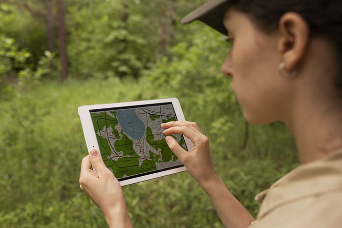
At GIS Mappers Saudi Arabia, we apply advanced artificial intelligence and deep learning to automate object detection across bathymetric, hydrographic, topographic, and marine survey datasets. Our technology enables accurate analysis from satellite and drone imagery, transforming geospatial workflows across Saudi Arabia.
Whether mapping infrastructure, detecting seabed features with bathymetric surveys, or monitoring environmental changes through geophysical and oceanographic data — our AI systems deliver precision at scale.


© Copyright 2025. All Rights Reserved by GISMappers Saudi Arabia