GIS Mapping
AI-Powered Land Classification & Change Detection in Saudi Arabia | GISMappers

Smart Land Monitoring for Saudi Arabia's Growth

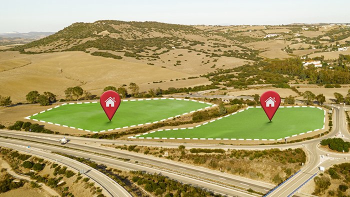
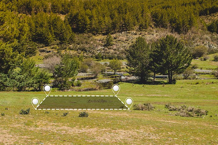
GISMappers leverages cutting-edge artificial intelligence and machine learning to deliver accurate AI-powered land classification and change detection services across Saudi Arabia. From the deserts of Riyadh to the Red Sea coastline, our geospatial solutions transform satellite, UAV, and drone imagery into actionable spatial insights.

Our advanced AI models support land-use mapping, urban expansion analysis, agricultural planning, and environmental monitoring in line with Saudi Vision 2030. We help governments, consultants, and developers make smarter data-driven decisions with scalable, cloud-based geospatial intelligence.

AI Land Classification Saudi Arabia
Change Detection in Saudi Arabia

Key Features & Benefits:

1. Automated Land Classification
  • Detects vegetation, urban areas, water bodies, barren lands, and croplands.
  • Uses CNNs and deep learning for precise classification in arid and semi-arid zones like Saudi Arabia.
2. Multi-temporal Change Detection
  • Analyzes time-series imagery to detect changes in land use, urban sprawl, or desertification.
  • Supports development tracking, coastal erosion, and infrastructure planning.
3. Scalable GIS Analytics
  • Capable of processing high-resolution imagery across large Saudi regions using cloud computing.
  • Ideal for national-scale monitoring and mega projects like NEOM or Red Sea Global.
4. Tailored AI Models for Saudi Arabia
  • Models trained with localized datasets for Saudi terrain, vegetation, and urban zones.
  • Continuously learns to improve performance and reduce classification errors.
5. GIS-Ready Output Integration
  • Export results to ArcGIS, QGIS, and cloud-based web mapping platforms.
  • Supports smart city planning, utility mapping, and government GIS platforms in Saudi Arabia.
Common Applications in Saudi Arabia:
  • Smart city and infrastructure development (e.g., Riyadh, Jeddah, NEOM)
  • Agriculture and irrigation monitoring in arid regions
  • Environmental protection and desertification studies
  • Urban sprawl analysis for municipal planning
  • Coastal monitoring along the Red Sea and Arabian Gulf

With GISMappers, your organization gains access to intelligent, real-time, and scalable AI geospatial analytics for Saudi Arabia. We help you monitor land dynamics, reduce risk, and optimize decision-making using accurate and automated GIS workflows.