GIS Mapping
Water Quality Analysis | GISMappers

Water Quality Analysis

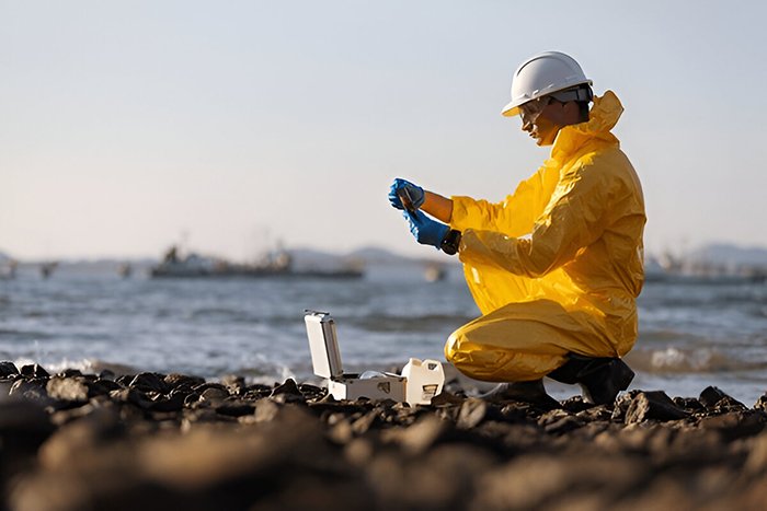
Water Quality Analysis is an essential component of Chemical Oceanography, providing critical data on the physical, chemical, and biological properties of marine and freshwater environments. By monitoring pollutants, pH levels, dissolved oxygen, salinity, and other key parameters, water quality assessments help safeguard aquatic ecosystems, marine biodiversity, and public health.

At GISMappers, we utilize advanced remote sensing techniques, satellite data, and in-situ water sampling to analyze water composition and detect environmental changes. Our services support sustainable water resource management, regulatory compliance, and scientific research to ensure safe and healthy water systems.

Water Quality Monitoring
Chemical Oceanography

Key Features & Benefits:

1. Comprehensive Water Quality Monitoring
  • Measures critical parameters such as pH, turbidity, salinity, and dissolved oxygen.
  • Identifies potential contamination sources affecting aquatic ecosystems.
2. Pollution Detection & Environmental Protection
  • Detects industrial waste discharge, oil spills, and heavy metal contamination.
  • Supports environmental policies and regulatory frameworks.
3. Satellite and Remote Sensing Analysis
  • Uses satellite imagery to assess large-scale water quality variations.
  • Provides real-time data for monitoring algal blooms and sedimentation.
4. Drinking Water & Public Health Safety
  • Assesses water quality to ensure compliance with WHO and EPA standards.
  • Prevents waterborne diseases by early detection of contaminants.
5. Climate Change and Ocean Acidification Studies
  • Monitors shifts in ocean chemistry due to rising CO₂ levels.
  • Helps predict long-term effects of climate change on marine ecosystems.
6. Support for Fisheries and Marine Conservation
  • Ensures healthy water conditions for aquaculture and fisheries.
  • Supports marine biodiversity conservation and ecosystem restoration.
Applications of Water Quality Analysis:
  • Coastal and Inland Water Monitoring
  • Industrial and Municipal Wastewater Management
  • Environmental Impact Assessments
  • Marine and Freshwater Research
  • Climate Change Adaptation and Resilience Planning

GISMappers leverages cutting-edge technology and scientific expertise to deliver high-precision water quality analysis for governments, research institutions, and environmental organizations. Our data-driven insights contribute to sustainable water management and marine conservation, ensuring cleaner and healthier water bodies for future generations.

L o a d i n g