GIS Mapping
Sediment Quality Analysis Services | GISMappers

Sediment Quality Analysis

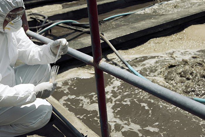
Sediment Quality Analysis is a crucial aspect of Chemical Oceanography, providing insights into the composition, contamination levels, and ecological impact of sediments in marine and freshwater environments. Sediments act as environmental archives, recording past pollution, chemical changes, and biological activities. Monitoring sediment quality helps in assessing pollution sources, sediment transport, and overall ecosystem health.

At GISMappers, we employ advanced geochemical analysis, remote sensing, and in-situ sampling techniques to study the physical and chemical properties of sediments. Our comprehensive assessments support environmental management, regulatory compliance, and sustainable coastal and offshore development.

Sediment Quality Monitoring
Chemical Oceanography Sediments

Key Features & Benefits:

1. Contaminant Detection and Pollution Monitoring
  • Identifies heavy metals, hydrocarbons, pesticides, and microplastics in sediments.
  • Helps in tracking industrial and agricultural pollutants entering water bodies.
2. Sediment Composition and Geochemistry
  • Analyzes grain size, mineralogy, organic content, and nutrient levels.
  • Provides insights into sediment transport dynamics and deposition patterns.
3. Ecosystem Health and Habitat Assessment
  • Evaluates the impact of sediment pollution on benthic organisms and aquatic ecosystems.
  • Supports marine biodiversity conservation and restoration efforts.
4. Climate Change and Carbon Sequestration Studies
  • Examines the role of sediments in carbon storage and greenhouse gas emissions.
  • Helps in understanding long-term climate change effects on sedimentation.
5. Dredging and Coastal Development Planning
  • Provides baseline data for sustainable dredging and port development projects.
  • Ensures compliance with environmental impact assessments (EIA).
6. Remote Sensing and GIS-Based Sediment Mapping
  • Utilizes satellite and UAV-based imagery for large-scale sediment analysis.
  • Enhances data visualization and integration with hydrodynamic models.
Applications of Sediment Quality Analysis:
  • Industrial and Urban Pollution Control
  • Fisheries and Marine Habitat Conservation
  • Coastal Erosion and Sediment Transport Studies
  • Offshore Oil & Gas Environmental Compliance
  • Climate Adaptation and Disaster Risk Management

GISMappers integrates high-resolution geochemical analysis, remote sensing data, and expert environmental assessments to provide accurate and actionable sediment quality insights. Our work aids governments, industries, and researchers in making informed decisions for sustainable marine resource management and pollution control.

L o a d i n g