GIS Mapping
3D Elevations, Floor Plans & Sections in Saudi Arabia | GISMappers

Elevations, Floor Plans & Sections from 3D Laser
Scanning in Saudi Arabia

GISMappers offers advanced 3D laser scanning services for creating accurate elevations, floor plans, and sectional drawings across Saudi Arabia, including Riyadh, Jeddah, Dammam, and NEOM. Our services cater to architectural design, construction documentation, renovation planning, and regulatory compliance.

Our expert survey team uses high-resolution terrestrial laser scanners to capture building interiors and exteriors with millimeter accuracy. The data is processed into detailed 2D CAD and 3D BIM models, ensuring precision-driven decision-making for engineers, architects, and contractors in the Kingdom of Saudi Arabia.

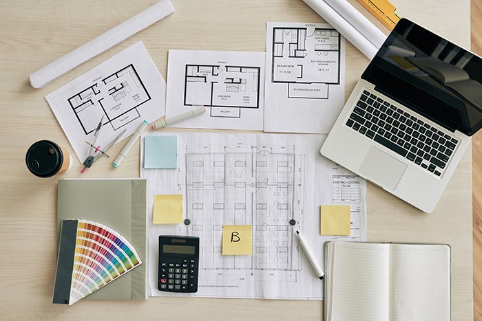
3D Elevation Drawing Saudi Arabia
Floor Plan from Laser Scan KSA

Key Features & Benefits:

1. Accurate Elevation Drawings
  • Captures front, rear, and side elevations with full façade detail.
  • Ideal for design approval and planning in Saudi municipalities.
2. Precision Floor Plans
  • Wall layouts, room dimensions, MEP fixtures, and load-bearing elements.
  • Scalable drawings for residential, commercial, and public buildings in KSA.
3. Cross Sections & Vertical Cuts
  • Longitudinal and transverse sections highlight interior details and levels.
  • Essential for staircases, voids, HVAC coordination, and vertical clearance.
4. CAD, PDF & BIM Output
  • DWG, DXF, PDF, Revit formats delivered for seamless integration into your project.
  • Compatible with Saudi government and municipal tender requirements.
5. Broad Applications in the Kingdom
  • Architectural design and renovation in Riyadh, Jeddah, and Dammam
  • Historical site preservation and restoration across Saudi Arabia
  • Urban planning for NEOM and smart city projects
  • Government infrastructure and public building documentation

With GISMappers, you receive high-quality, locally compliant surveying outputs that support construction, design, and facility management workflows throughout Saudi Arabia. Trust our 3D laser scanning and GIS expertise to provide the elevation drawings and plans you need—on time and with unmatched accuracy.