GIS Mappers successfully conducted a comprehensive bathymetry and topography survey in Gamdah and Al Jari, Musandam, Oman, for HMR. This survey supports marine development and infrastructure planning in the northern coastal region by mapping underwater profiles and generating accurate land elevation models.

Covering 100 hectares for bathymetry and 50 hectares for topographic mapping, the survey used a 20m grid interval. Contour maps were generated at 0.25m intervals and submitted in 1:1500 scale DWG format along with ASCII XYZ coordinate files. The data provide vital elevation and seabed structure details for engineering and environmental assessments.
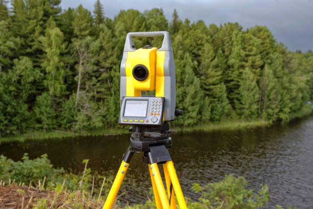
Using an Odom Hydrotrac Echo Sounder (200 kHz) with Valeport Tide Gauge and RTK GPS, high-accuracy depth and position data were acquired and logged into navigation software. Daily bar checks ensured sound velocity accuracy, while tide data were tied to the client benchmark at Khasab Port.
GIS Mappers processed all hydrographic and topographic data using HydroPro and CAD platforms, ensuring reliable datasets for infrastructure planning. The results revealed a shallow, varied seabed profile with exposed features relevant for dredging, quay wall construction, and marine access planning.
© Copyright 2025. All Rights Reserved by GISMappers Saudi Arabia