GIS Mappers successfully executed a comprehensive marine survey at the Special Economic Zone at Duqm (SEZAD), Sultanate of Oman. The scope included bathymetric profiling, Secchi disk water clarity measurement, and sediment sampling for the purpose of coastal erosion assessment and the design of effective coastal protection systems. This study plays a crucial role in informing the sustainable development of Duqm's marine infrastructure.
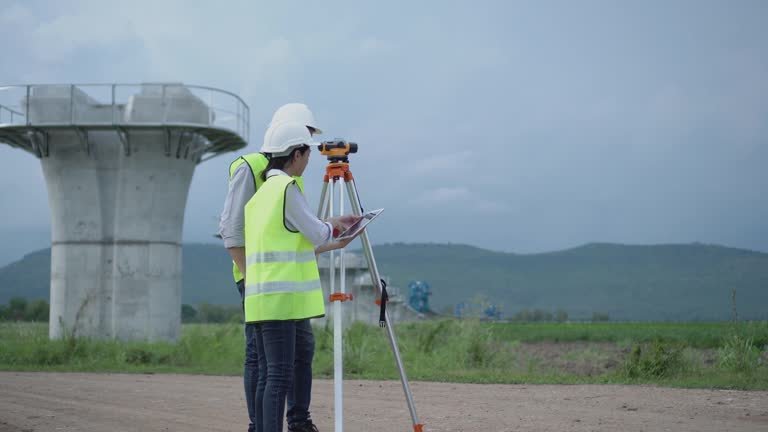
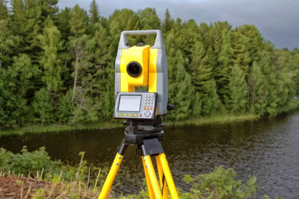
A total of 38 bathymetric profiles were collected perpendicular to the shoreline, extending from the Mean Higher High Water Mark to the 15-meter bathymetric contour line. Survey positioning was executed using high-accuracy Sokkia RTK GPS receivers (base and rover units), supported by a Pacific Crest ADL Vantage Pro digital data link. The depth readings were recorded using a Teledyne Odom Echotrac MKIII echo sounder, with vertical corrections based on tidal data collected via a Valeport Tide Gauge.
Sediment profiling was performed using sediment samplers, and analyses followed ASTM grain-size sieve standards (including sieves No. 10 through 230). This facilitated a detailed understanding of the seabed substrate composition, essential for future dredging, construction, and marine ecological assessment.
Water clarity assessments were conducted using a Secchi disk, a proven method for measuring water transparency and understanding light penetration, which is critical for ecological health and marine operations. All parameters were collected at precise GPS-marked locations, ensuring spatial accuracy and repeatability.
This integrated bathymetric and geotechnical marine survey for SEZAD Port reflects GIS Mappers' capability in delivering reliable marine data to support engineering, environmental, and coastal management decisions in Oman and across the GCC region.
© Copyright 2025. All Rights Reserved by GISMappers Saudi Arabia