GIS Mappers conducted an integrated underwater epifaunal assessment and bathymetry survey at the Quriyat IWP Plant in Oman to support pipeline route planning and environmental baseline documentation. This initiative was vital to evaluate the seabed conditions and marine habitats prior to the installation of desalination intake and outfall systems. Using high-resolution video equipment and echo sounding technology, the survey offered valuable ecological and geospatial data in support of coastal infrastructure planning.
Underwater observations of seafloor epifauna were conducted using video transects captured by a VideoRay Pro III XE GTO ROV system, equipped with tethered cable systems and a 14" composite video monitor. Video overlays and DVD recorders were used for documentation. The camera system was positioned 300–600 mm above the seabed at a 30° angle. Transects were plotted perpendicular to the shoreline and georeferenced using high-accuracy GPS. Imagery was captured at key locations and regular intervals, documenting habitats and notable marine species.
The result of this underwater video campaign provided an inventory of dominant benthic organisms, including mollusks, polychaetes, and crustaceans. Digital media files with habitat locations were submitted as part of the final report. Habitats observed consisted of soft sand and gravel substrates with occasional macroalgae; no seagrasses or corals were detected across transects T1–T4 at depths ranging from 3–40 meters.
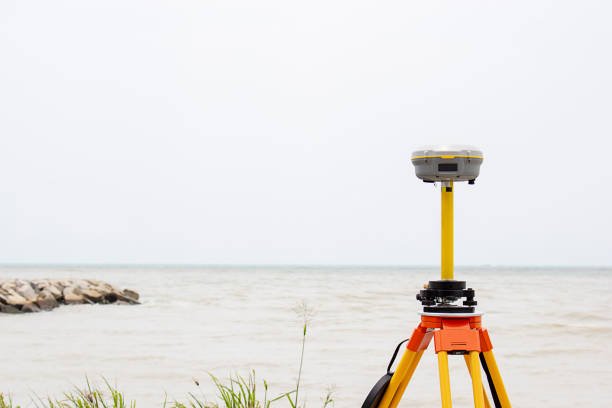
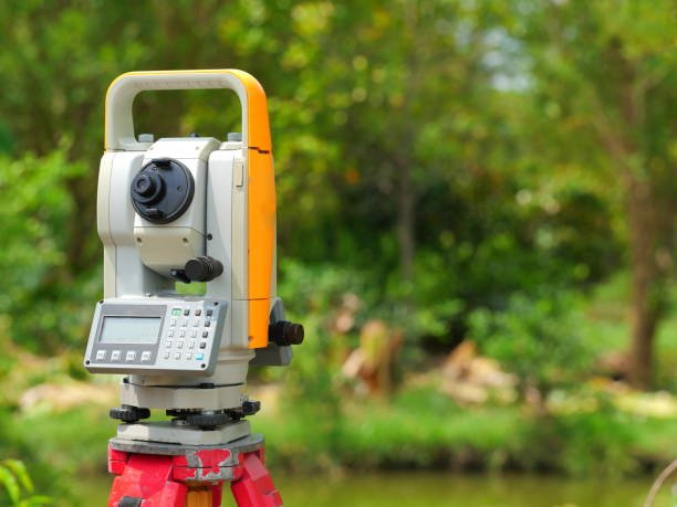
For bathymetric data collection, GIS Mappers deployed an Odom Hydrotrac single-frequency (200 kHz) echo sounder. Bar checks indicated a sound velocity of 1540 m/s, which was used throughout acquisition. Data were logged and processed using HydroPro software and referenced to local UTM coordinates. The tide level was continuously recorded using a Valeport Tide Gauge. The entire survey operation was completed on schedule.
This combined video and bathymetric survey provided GIS-based habitat mapping, seabed profiling, and species density interpretation critical for assessing the environmental suitability of proposed pipeline alignments for the Quriyat desalination plant. The outputs will serve as baseline data for permitting, risk mitigation, and sustainable marine development.
© Copyright 2025. All Rights Reserved by GISMappers Saudi Arabia