GIS Mappers conducted a detailed bathymetry and seabed survey at the Quriyat Independent Water Project (IWP) Plant, a major coastal desalination initiative in the Sultanate of Oman. The survey was executed to support pipeline alignment, dredging volume estimation, and environmental baseline assessment for future marine construction activities. This high-accuracy hydrographic survey was part of the broader infrastructure works managed by Oman Power and Water Procurement Company (OPWP).

The scope of the marine survey included detailed bathymetric mapping and qualitative seabed analysis, with an environmental interpretation of any sensitive marine species present in the project footprint. A spatial overview of habitat distribution, including indicators of marine biodiversity density, was generated to guide environmental permitting and impact mitigation planning.
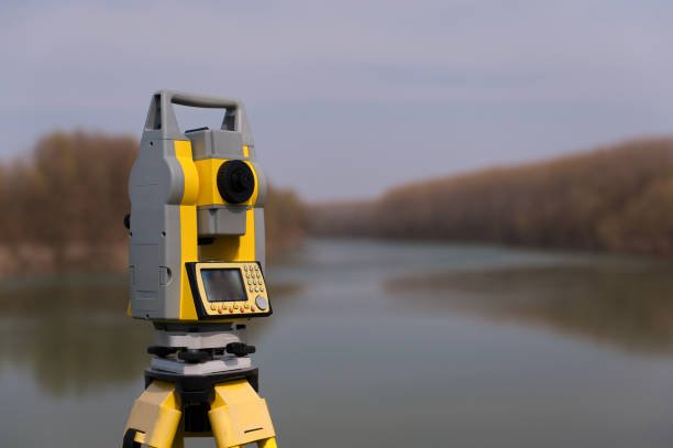
Survey operations were performed using high-end oceanographic and geospatial instruments, including the Odum Hydrotrac Echo Sounder, Valeport Tide Gauge, Sokkia RTK GPS and Total Station, Video Ray Pro III XE GTO ROV, and water/sediment sampling tools. Tide correction and positional data were processed with HydroPro software to achieve precise local UTM coordinates.
During the bathymetric campaign, GIS Mappers installed an automatic water level recorder to monitor real-time tidal changes. The MKIII dual-frequency echo sounder (33/210 kHz) captured continuous depth data, and sound velocity profiles were calibrated daily via CTD dips and bar checks. Navigation lines were plotted to ensure full seabed coverage and minimal obstruction interference. All collected data was logged into HydroPro for quality assurance and visual tracking.
Final deliverables included digital bathymetric charts, seabed condition maps, sediment sample analysis, and environmental summary reports. The outputs from this project are currently being used for intake/outfall route design and dredging quantity calculations—critical inputs for the engineering phase of the Quriyat desalination plant.
GIS Mappers continues to support key marine infrastructure projects across Oman with IHO-compliant hydrographic surveys, bringing precision and environmental awareness to the Kingdom’s strategic water developments.
© Copyright 2025. All Rights Reserved by GISMappers Saudi Arabia