GIS Mappers successfully conducted a comprehensive bathymetry and seabed survey for an industrial water intake and discharge development at the Special Economic Zone at Duqm, Oman. The survey aimed to support the safe and effective design of seawater intake and outfall structures by providing detailed marine environmental data including bathymetry, oceanographic conditions, geophysical profiles, and seabed sampling.
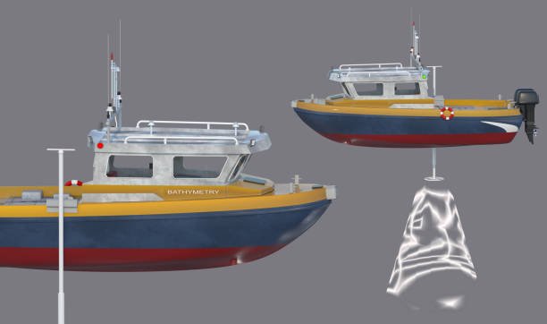
The scope involved high-resolution single-beam echo sounder bathymetry with 15m x 15m grid spacing, tide recordings, DGPS-controlled positioning, shoreline topography correlation, and vertical/horizontal datum referencing in accordance with Admiralty Chart Datum and IHO S-44 Order 1a standards. Four ADCP profilers were deployed for a full lunar cycle and two wave buoys at -20m CD depth monitored wave and current patterns.
A total of 50 seabed and water sampling locations were identified and collected across two seasonal campaigns (summer and winter). Additional scope included geophysical seismic and side scan sonar surveys, water quality testing (salinity, pH, DO, turbidity, depth), suspended sediment analysis, and site-specific seabed characterization.
Side Scan Sonar and Sub-bottom Profiling (Edgetech 4125p and GeoAcoustics Pinger) were employed to detect seabed features, potential obstructions, and sub-surface stratigraphy. Using CODA software, synchronized seismic and geospatial datasets were processed and georeferenced.
Water and sediment samples were collected using Van Veen grabs and Niskin samplers, ensuring data quality across surface, mid-depth, and bottom layers. Hydrographic data were adjusted using tide corrections recorded by Valeport Tide Gauges and processed in HydroPro software for accuracy.
The resulting marine survey report and bathymetric charts (1:2500 scale) provided actionable data for intake pipe placement, marine infrastructure alignment, and environmental risk mitigation planning. This project further highlights GIS Mappers' capabilities in delivering end-to-end marine surveys for critical infrastructure development across Oman and the Gulf region.
© Copyright 2025. All Rights Reserved by GISMappers Saudi Arabia