GIS Mappers was engaged by Ramboll to carry out a high-precision underwater quay wall survey at the Port of Salalah, located in the Dhofar Governorate along Oman’s Arabian Sea coastline. As one of the largest and busiest ports in the region, the Port of Salalah plays a strategic role in global trade, connecting Asia, Europe, and Africa. To safeguard the structural stability of the port’s marine infrastructure and ensure uninterrupted operations, GIS Mappers conducted a detailed underwater inspection using advanced hydrographic survey technologies.
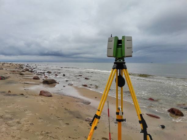
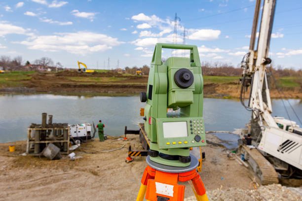
The primary objective was to assess the structural condition of the quay wall, identify any underwater anomalies, and collect bathymetric data that would support maintenance planning and engineering assessments. The survey was performed using cutting-edge sonar and positioning systems, including an M3 Multibeam Sonar, AML sound velocity profilers, TSS DMS motion sensors, and a Leica RTK GNSS system for precise geospatial referencing. All data acquisition and processing were completed using industry-standard Hypack and Hysweep software platforms.
Prior to mobilization, a full pre-survey reconnaissance was completed to assess the site, confirm safety requirements, and plan sonar line coverage. A Valeport Tide Master tide gauge was installed to account for vertical tide variations. The GPS antenna was carefully aligned in the same vertical axis as the multibeam transducer to ensure precise horizontal positioning. Real-time data logging occurred through a navigation computer interfaced with the M3 sonar system. Each day, bar checks and CTD profiles were conducted to verify sound velocity and equipment calibration.
During operations, the team applied heave, pitch, and roll corrections using dynamic motion sensors to counteract vessel movement. Sound speed values and draft parameters were input directly into the sonar software to maintain depth accuracy. Geospatial corrections were handled through the Leica RTK GNSS and Hemisphere DGPS systems, with all positional data converted into the local UTM projection zone for consistency.
The results of this quay wall survey in Salalah were instrumental in providing Ramboll and port authorities with a reliable condition assessment of the underwater structure. The bathymetric data not only helped validate the structural integrity of the quay wall but also supported future infrastructure planning for the port. The success of this project demonstrates GIS Mappers’ commitment to delivering advanced marine survey services in Oman and the wider Gulf region.
GIS Mappers continues to support marine engineering firms, infrastructure developers, and environmental agencies with precise underwater mapping, sonar-based inspections, and hydrographic surveys across the Arabian Peninsula.
© Copyright 2025. All Rights Reserved by GISMappers Saudi Arabia