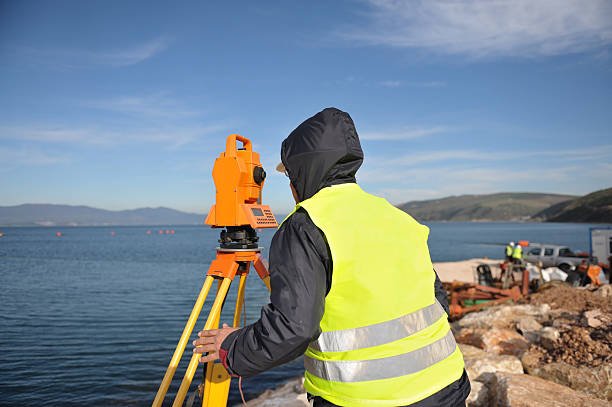
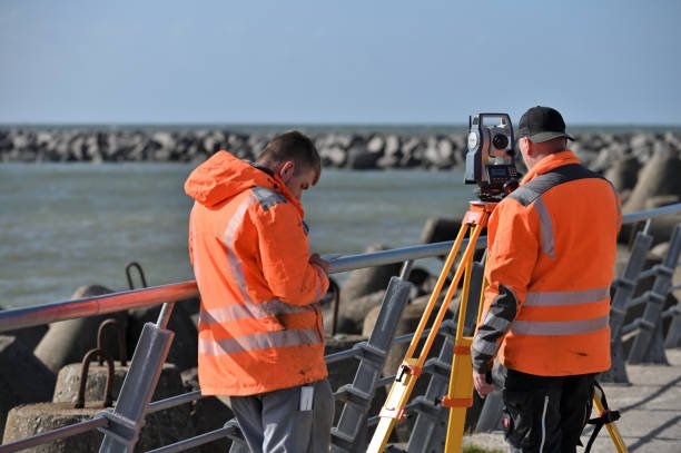
GIS Mappers successfully completed a specialized Water Quality Vertical Profiling and Bathymetric Survey for Ayesa at Al Khobar, Saudi Arabia. This project was aimed at collecting high-accuracy marine environmental data to support sustainable coastal development and long-term maintenance planning.
One of the key challenges was securing Coast Guard permissions, requiring detailed submissions such as equipment specifications, staff details, and survey methodology. GIS Mappers ensured all regulatory requirements were met, allowing the project to proceed smoothly.
The survey combined two primary services: targeted bathymetric surveying and seawater quality sampling. GIS Mappers conducted 13 vertical seawater profiles along predefined survey lines, capturing essential data on pH, conductivity, temperature, turbidity, dissolved oxygen, and chlorophyll. Additionally, 10 seawater samples were collected three meters above the seabed for laboratory analysis in Dammam, providing deeper insights into water chemistry and biology.
Using Differential GPS (DGPS) and single-beam echo sounders, GIS Mappers ensured precise georeferencing and accurate seabed mapping. The processed data, including bathymetric contour maps and water quality reports, supports informed decision-making for marine infrastructure development while maintaining environmental sustainability.
© Copyright 2025. All Rights Reserved by GISMappers Saudi Arabia