GIS Mapping
Air Quality Analysis Services | GISMappers

Air Quality Analysis

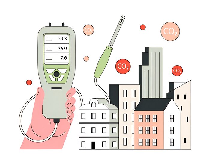
Air Quality Analysis plays a crucial role in Chemical Oceanography, examining the interaction between atmospheric pollutants and marine ecosystems. By analyzing particulate matter, greenhouse gases, and chemical pollutants, scientists can assess the impact of air pollution on oceans, human health, and climate change.

At GISMappers, we leverage satellite data, ground-based monitoring, and remote sensing techniques to evaluate air quality over coastal and marine environments. Our comprehensive analysis helps in environmental policy-making, industrial regulation, and climate studies.

Air Quality Analysis
Chemical Oceanography Air Quality

Key Features & Benefits:

1. Monitoring of Airborne Pollutants
  • Detects particulate matter (PM2.5, PM10), NO₂, SO₂, CO, and O₃.
  • Identifies sources of industrial emissions, vehicular pollution, and natural events (volcanoes, wildfires).
2. Greenhouse Gas and Climate Change Analysis
  • Measures CO₂, CH₄, and other greenhouse gas concentrations.
  • Assesses climate impact and carbon cycle interactions.
3. Impact on Marine and Coastal Ecosystems
  • Evaluates acid rain formation and deposition effects on oceans.
  • Studies ocean acidification and its impact on marine biodiversity.
4. Remote Sensing and Satellite-Based Air Quality Mapping
  • Uses satellite imagery (MODIS, Sentinel-5P, TROPOMI) to track pollution patterns.
  • Provides real-time air quality monitoring over land and oceans.
5. Health Risk Assessment and Environmental Regulations
  • Identifies air pollution hotspots affecting human health and respiratory diseases.
  • Supports government policies on emissions control and air quality standards.
6. Industrial and Urban Air Pollution Studies
  • Analyzes urban heat islands and industrial emissions.
  • Helps design eco-friendly urban infrastructure and sustainable development.
Applications of Air Quality Analysis:
  • Climate Change and Atmospheric Research
  • Coastal and Oceanic Air Quality Monitoring
  • Public Health and Air Pollution Control
  • Industrial Compliance and Environmental Regulations
  • Sustainable Urban and Coastal Development

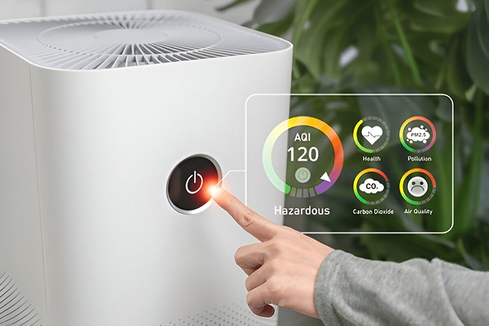
GISMappers provides high-precision air quality analysis using state-of-the-art satellite observations, atmospheric sensors, and GIS-based mapping. Our solutions support environmental protection, climate adaptation, and sustainable urban planning.

L o a d i n g